Shop Top-Quality Ordnance Survey Online

Compare, choose, and shop Ordnance Survey with confidence, all from our trusted store.

Lyme Regis & Bridport Map | Chard | Ordnance Survey | OS Explorer Map 116 | England | Walks | Hiking | Maps | Adventure

Lyme Regis & Bridport Map | Chard | Ordnance Survey | OS Explorer Map 116 | England | Walks | Hiking | Maps | Adventure

4.8
UKStore
43 Br
OL45 The Cotswolds, Burford, Chipping Campden, Cirencester & Stow-on-the Wold 1:25K

OL45 The Cotswolds, Burford, Chipping Campden, Cirencester & Stow-on-the Wold 1:25K

4.8
USStore
93 Br
Ordnance Survey Derbyshire Street Atlas (Ordnance Survey/ Philip's Street Atlases)

Ordnance Survey Derbyshire Street Atlas (Ordnance Survey/ Philip's Street Atlases)

5.0
INDIAStore
24 Br
Epping Forest & Lee Valley Map | Hertford & Harlow | Ordnance Survey | OS Explorer Map 174 | England | Walks | Hiking | Maps | Adventure

Epping Forest & Lee Valley Map | Hertford & Harlow | Ordnance Survey | OS Explorer Map 174 | England | Walks | Hiking | Maps | Adventure

4.7
UKStore
242 Br
Ordnance Survey South Yorkshire Street Atlas

Ordnance Survey South Yorkshire Street Atlas

INDIAStore
FREE
The Ordnance Survey Puzzle Tour of Britain: Can You Crack over 300 Fiendish Puzzles? Follow the Clues Around Great Britain to Find Out!

The Ordnance Survey Puzzle Tour of Britain: Can You Crack over 300 Fiendish Puzzles? Follow the Clues Around Great Britain to Find Out!

4.7
USStore
87 Br
Ordnance Survey Bristol and Avon Street Atlas (Ordnance Survey/ Philip's Street Atlases)

Ordnance Survey Bristol and Avon Street Atlas (Ordnance Survey/ Philip's Street Atlases)

INDIAStore
537 Br
Map of Ancient Britain | Historical Map & Guide | Ordnance Survey | Roman Empire | Prehistoric Britain | History Gifts | Geography | British History

Map of Ancient Britain | Historical Map & Guide | Ordnance Survey | Roman Empire | Prehistoric Britain | History Gifts | Geography | British History

4.6
UKStore
34 Br
The Ordnance Survey Kids' Adventure Book: Puzzle, Explore, Map-Read...and More!

The Ordnance Survey Kids' Adventure Book: Puzzle, Explore, Map-Read...and More!

4.5
UKStore
296 Br
Roadmap Scotland. Orkney & Shetland

Roadmap Scotland. Orkney & Shetland

4.7
USStore
159 Br
The Ordnance Survey Puzzle Book: Pit your wits against Britain's greatest map makers from your own home! Paperback – 18 Oct. 2018

The Ordnance Survey Puzzle Book: Pit your wits against Britain's greatest map makers from your own home! Paperback – 18 Oct. 2018

4.6
UKStore
327 Br
LR 114 Anglesey

LR 114 Anglesey

USStore
195 Br
The Peak District (Ordnance Survey/AA Leisure Guides)

The Peak District (Ordnance Survey/AA Leisure Guides)

INDIAStore
24 Br
The Ordnance Survey Great British Treasure Hunt: Solve the Clues on a Puzzle Adventure

The Ordnance Survey Great British Treasure Hunt: Solve the Clues on a Puzzle Adventure

USStore
111 Br
Chichester Map | South Harting & Selsey | Ordnance Survey | OS Explorer Map OL08 | England | Walks | Hiking | Maps | Adventure

Chichester Map | South Harting & Selsey | Ordnance Survey | OS Explorer Map OL08 | England | Walks | Hiking | Maps | Adventure

4.8
UKStore
44 Br
Aberystwyth and Machynlleth (Landranger Maps) 135

Aberystwyth and Machynlleth (Landranger Maps) 135

USStore
130 Br
The Ordnance Survey Great British Treasure Hunt: Can you solve over 350 clues on a puzzle adventure from your own home?

The Ordnance Survey Great British Treasure Hunt: Can you solve over 350 clues on a puzzle adventure from your own home?

4.7
INDIAStore
42 Br
Roman Britain Historical Map OS

Roman Britain Historical Map OS

4.6
USStore
330 Br
Ordnance Survey Memoirs of Ireland: Parishes of Co. Armagh 1835-8: v. 1 (The Ordnance Survey memoirs of Ireland 1830-1840) Paperback – Import, 1 September 1990

Ordnance Survey Memoirs of Ireland: Parishes of Co. Armagh 1835-8: v. 1 (The Ordnance Survey memoirs of Ireland 1830-1840) Paperback – Import, 1 September 1990

4.5
INDIAStore
250 Br
The Ordnance Survey Journey Through Time: From the Sunday Times bestselling puzzle series!

The Ordnance Survey Journey Through Time: From the Sunday Times bestselling puzzle series!

4.6
UKStore
336 Br
Ordnance Survey Memoirs of Ireland: Parishes of Co. Antrim XIII 1833, 1835, 1838: v.35 (The Ordnance Survey memoirs of Ireland 1830-1840)

Ordnance Survey Memoirs of Ireland: Parishes of Co. Antrim XIII 1833, 1835, 1838: v.35 (The Ordnance Survey memoirs of Ireland 1830-1840)

INDIAStore
133 Br
Cotswolds & Gloucestershire OS Tour Map 8 1:100K

Cotswolds & Gloucestershire OS Tour Map 8 1:100K

USStore
78 Br
The Ordnance Survey Journey Through Time

The Ordnance Survey Journey Through Time

4.7
USStore
102 Br
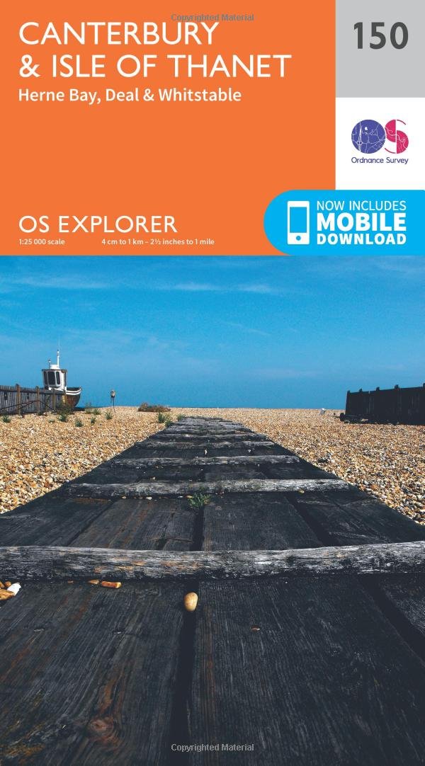
Canterbury & Isle of Thanet Map | Herne Bay, Deal & Whitstable | Ordnance Survey | OS Explorer Map 150 | England | Walks | Hiking | Maps | Adventure Map – Folded Map, 16 Sept. 2015

Canterbury & Isle of Thanet Map | Herne Bay, Deal & Whitstable | Ordnance Survey | OS Explorer Map 150 | England | Walks | Hiking | Maps | Adventure Map – Folded Map, 16 Sept. 2015

4.8
UKStore
248 Br
Paddington 1872: London Sheet 060.1 (Old Ordnance Survey Maps of London)

Paddington 1872: London Sheet 060.1 (Old Ordnance Survey Maps of London)

INDIAStore
1 809 Br
LR088 Newcastle Upon Tyne, Durham and Sunderland (Landranger Maps)

LR088 Newcastle Upon Tyne, Durham and Sunderland (Landranger Maps)

USStore
81 Br
Landranger 41 Ben Nevis, Fort William & Glen Coe (OS Landranger Map): 041

Landranger 41 Ben Nevis, Fort William & Glen Coe (OS Landranger Map): 041

4.7
USStore
85 Br
Yorkshire Dales Map | Northern & Central | Ordnance Survey | OS Explorer Map OL30 | England | Walks | Hiking | Maps | Adventure

Yorkshire Dales Map | Northern & Central | Ordnance Survey | OS Explorer Map OL30 | England | Walks | Hiking | Maps | Adventure

UKStore
250 Br
East Acton and Wormwood Scrubs 1871: London Sheet 058.1 (Old Ordnance Survey Maps of London)

East Acton and Wormwood Scrubs 1871: London Sheet 058.1 (Old Ordnance Survey Maps of London)

INDIAStore
2 289 Br
New Forest Map | Southampton, Ringwood, Ferndown, Lymington, Christchurch & Bournemouth | Ordnance Survey | OS Explorer Map OL22 | England | Walks | Hiking | Maps | Adventure

New Forest Map | Southampton, Ringwood, Ferndown, Lymington, Christchurch & Bournemouth | Ordnance Survey | OS Explorer Map OL22 | England | Walks | Hiking | Maps | Adventure

4.7
UKStore
248 Br
Holland Park and Shepherds Bush 1913: London Sheet 073.3 (Old Ordnance Survey Maps of London)

Holland Park and Shepherds Bush 1913: London Sheet 073.3 (Old Ordnance Survey Maps of London)

INDIAStore
1 809 Br
ORDNANCE SURVEY Explorer 130 Salisbury & Stonehenge Map with Digital Version

ORDNANCE SURVEY Explorer 130 Salisbury & Stonehenge Map with Digital Version

USStore
197 Br
The Cotswolds Map | Burford, Chipping Campden, Cirencester & Stow-on-the-Wold | Ordnance Survey | OS Explorer Map OL45 | England | Walks | Hiking | Maps | Adventure

The Cotswolds Map | Burford, Chipping Campden, Cirencester & Stow-on-the-Wold | Ordnance Survey | OS Explorer Map OL45 | England | Walks | Hiking | Maps | Adventure

4.8
UKStore
246 Br
Warminster & Trowbridge Map | Westbury & Mere | Ordnance Survey | OS Explorer Map 143 | England | Walks | Hiking | Maps | Adventure

Warminster & Trowbridge Map | Westbury & Mere | Ordnance Survey | OS Explorer Map 143 | England | Walks | Hiking | Maps | Adventure

4.9
UKStore
252 Br
Whitechapel, Spitalfields & the Bank 1894 (Old Ordnance Survey Maps of London)

Whitechapel, Spitalfields & the Bank 1894 (Old Ordnance Survey Maps of London)

INDIAStore
1 899 Br
Hadrian’s Wall Map | Haltwhistle & Hexham | Ordnance Survey | OS Explorer Map OL43 | England | Walks | Hiking | Maps | Adventure

Hadrian’s Wall Map | Haltwhistle & Hexham | Ordnance Survey | OS Explorer Map OL43 | England | Walks | Hiking | Maps | Adventure

4.9
UKStore
44 Br
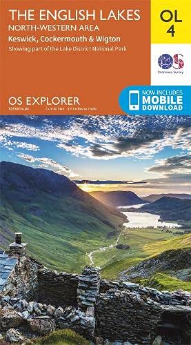
Lake District OS Explorer map OL4 The English Lakes - North Western area: Keswick, Cockermouth & Wigton

Lake District OS Explorer map OL4 The English Lakes - North Western area: Keswick, Cockermouth & Wigton

4.8
USStore
87 Br
Ludlow, Church Stretton and Wenlock Edge (Landranger Maps) 137 (OS Landranger Map)

Ludlow, Church Stretton and Wenlock Edge (Landranger Maps) 137 (OS Landranger Map)

USStore
FREE
West End 1870: London Sheet 061.1 (Old Ordnance Survey Maps of London)

West End 1870: London Sheet 061.1 (Old Ordnance Survey Maps of London)

INDIAStore
1 899 Br
Newtownards 1901: Co Down Sheet 6.09 (Old Ordnance Survey Maps of County Down)

Newtownards 1901: Co Down Sheet 6.09 (Old Ordnance Survey Maps of County Down)

4.6
INDIAStore
1 879 Br
Ireland Holiday - West (Irish Maps, Atlases & Guides)

Ireland Holiday - West (Irish Maps, Atlases & Guides)

4.5
USStore
70 Br
Harlech, Porthmadog & Y Bala Map | Snowdownia National Park / Barc Cenedlaethol Eryi | Ordnance Survey | OS Explorer Map OL18 | Wales | Walks | Hiking | Maps | Adventure: Porthmadog & Bala / Y Bala

Harlech, Porthmadog & Y Bala Map | Snowdownia National Park / Barc Cenedlaethol Eryi | Ordnance Survey | OS Explorer Map OL18 | Wales | Walks | Hiking | Maps | Adventure: Porthmadog & Bala / Y Bala

4.8
UKStore
122 Br
Kensington 1914: London Sheet 074.3 (Old Ordnance Survey Maps of London)

Kensington 1914: London Sheet 074.3 (Old Ordnance Survey Maps of London)

INDIAStore
1 809 Br
Wye Valley & Forest of Dean / Dyffryn Gwy a Fforest y Ddena Map | Monmouth & Chepstow | Ordnance Survey | OS Explorer Map OL14 | Wales | Walks | Hiking | Maps | Adventure

Wye Valley & Forest of Dean / Dyffryn Gwy a Fforest y Ddena Map | Monmouth & Chepstow | Ordnance Survey | OS Explorer Map OL14 | Wales | Walks | Hiking | Maps | Adventure

4.9
UKStore
203 Br
South Downs Short Walks Made Easy | Ordnance Survey | 10 Accessible Walks For Everybody | Guidebook | England | Walks | Adventure: 10 Leisurely Walks (OS Short Walks Made Easy)

South Downs Short Walks Made Easy | Ordnance Survey | 10 Accessible Walks For Everybody | Guidebook | England | Walks | Adventure: 10 Leisurely Walks (OS Short Walks Made Easy)

4.6
USStore
156 Br