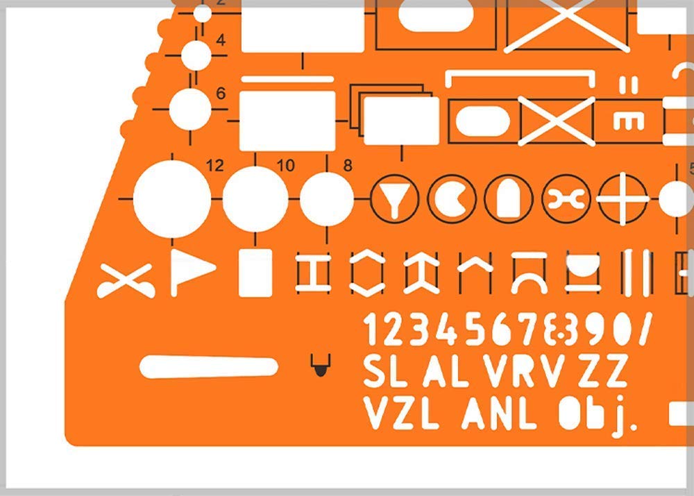


Combo of Military UTM/MGRS Coordinate Scale Map Reading and Land Navigation Topographical Map Scale, Protractor and Grid Coordinate Reader Pairs with Compass & Stencil with Military Marking Symbols For use with UTM, MGRS, USNG or other metric based coordinate systems. For use on maps with scales of: 1:25000 1:50000 1:100000 1:250000 Extensively used by NATO military forces and navigators to mark the map being measured Orange colored and transparent plastic made stencils allowing marking on paper sheets or clothes
Trustpilot
2 months ago
3 weeks ago

100+ bought in past month


