Make a Statement with Ordnance Survey
Enjoy special offers on top-rated Ordnance Survey items before they’re gone.
OL45 The Cotswolds, Burford, Chipping Campden, Cirencester & Stow-on-the Wold 1:25K
The Ordnance Survey Puzzle Book: Pit your wits against Britain’s greatest map makers
Colchester Map | Harwich & Clacton-on-Sea | Ordnance Survey | OS Explorer Map 184 | England | Walks | Hiking | Maps | Adventure
Yorkshire Dales Map | Southern & Western | Ordnance Survey | OS Explorer Map OL2 | England | Walks | Hiking | Maps | Adventure: OL02
The Ordnance Survey Puzzle Tour of Britain: Take a Puzzle Journey Around Britain From Your Own Home: A Journey Around Britain in Puzzles (Puzzle Books)
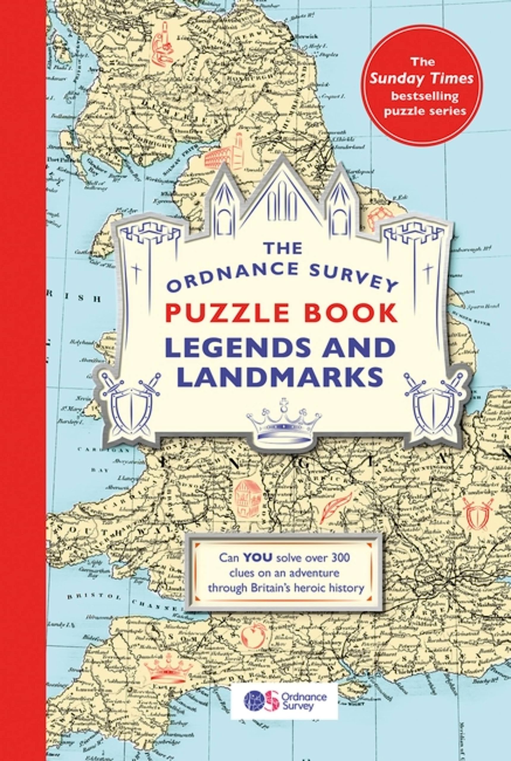
The Ordnance Survey Puzzle Book: Legends and Landmarks
Roman Britain Historical Map OS
The Ordnance Survey Puzzle Tour of Britain: Take a Puzzle Journey Around Britain From Your Own Home
Map of a Nation: A Biography of the Ordnance Survey
The Ordnance Survey Journey Through Time: From the Sunday Times bestselling puzzle series!
The Ordnance Survey Great British Treasure Hunt: Can you solve over 350 clues on a puzzle adventure from your own home?
Ordnance SurveyOS MF TOWEL L SCAFELL
Huntingdon & St Ives Map | Grafham Water | Ordnance Survey | OS Explorer Map 225 | England | Walks | Hiking | Maps | Adventure
The Ordnance Survey Journey Through Time
Ancient Britain Historical Map OS 1:625K
The Ordnance Survey Journey Through Time: The brand new book in the Sunday Times bestselling
Official Road Atlas Ireland: Autoatlas
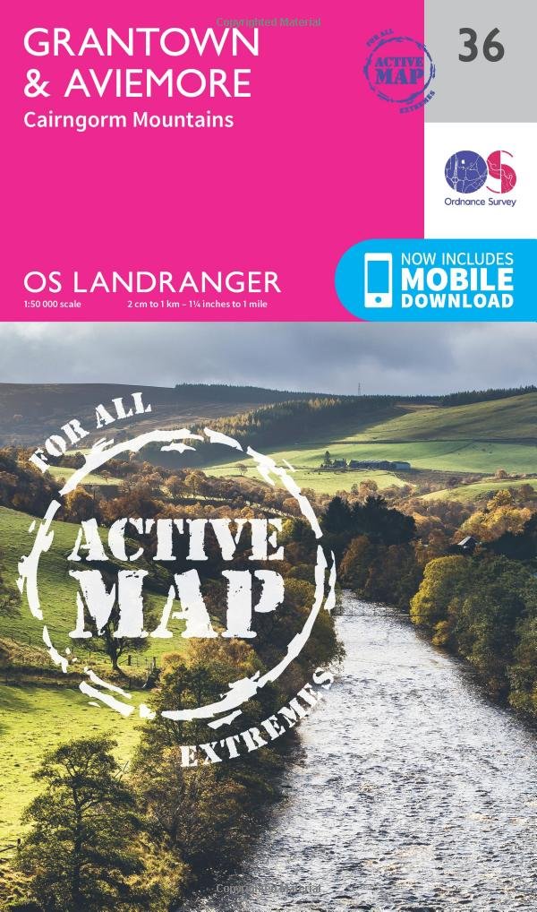
Grantown, Aviemore & Cairngorm Mountains
Map of Ancient Britain | Historical Map & Guide | Ordnance Survey | Roman Empire | Prehistoric Britain | History Gifts | Geography | British History
Ordnance Survey Pathfinder Essex
The Ordnance Survey Kids' Adventure Book: Puzzle, Explore, Map-Read...and More!
Roadmap Scotland. Orkney & Shetland
The Ordnance Survey Puzzle Book: Pit your wits against Britain's greatest map makers from your own home! Paperback – 18 Oct. 2018
The Ordnance Survey Kids' Adventure Book
Yorkshire Dales South & Western
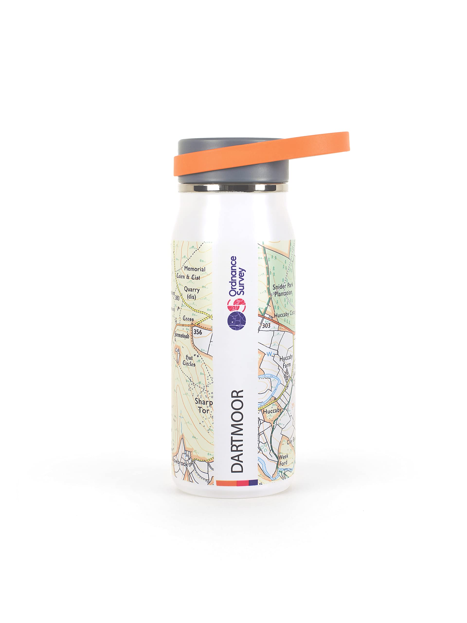
Dartmoor OS Explorer map OL28 Dartmoor
County Donegal, County Tyrone & County Fermanagh Map | Ordnance Survey Ireland | OSI Discovery Series 11 | Ireland | Walks | Hiking | Maps | Adventure (Irish Discovery Series)
Ordnance Survey Trek Towel - Compact, Lightweight, Quick-Dry Outdoor, Sports & Beach Towel, Sand-Free Design
Stratford-Upon-Avon and Evesham
OS Explorer Map OL1 The Peak District: Dark Peak Area
Cornwall (OS Tour Map) 1:100K
Lake District OS Explorer map OL7 The English Lakes - South Eastern area: Windermere, Kendal & Silverdale Map – Folded Map, May 17, 2021
The Ordnance Survey Kids' Adventure Book: Puzzle, Explore, Map-Read...and More!
The Ordnance Survey Puzzle Tour of Britain: Can You Crack over 300 Fiendish Puzzles? Follow the Clues Around Great Britain to Find Out!
Ordnance Survey IrelandIreland Holiday East
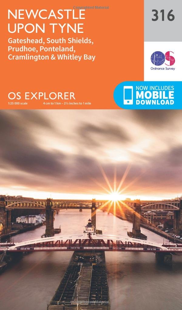
ORDNANCE SURVEY Landranger 88 Newcastle Upon Tyne, Durham & Sunderland Map with Digital Version
The Ordnance Survey Journey Through Time: The brand new book in the Sunday Times bestselling puzzle series!
York Ordnance Survey: 290 (OS Explorer Map)
ORDNANCE SURVEY Explorer OL 15 Purbeck and South Dorset
The Ordnance Survey Great British Treasure Hunt: Solve the Clues on a Puzzle Adventure
The Ordnance Survey Great British Treasure Hunt: Can you solve over 350 clues on a puzzle adventure from your own home?
Northumberland Short Walks Made Easy Guide | Ordnance Survey | 10 easy going walks | Coastal walks | Nature | History | Wildlife | Family walks |: 10 Leisurely Walks (OS Short Walks Made Easy)
North York Moors - Western Area Ordnance Survey: OL 26 (OS Explorer Map)
The Ordnance Survey Puzzle Book: Pit your wits against Britain's greatest map makers from your own home!
Stratford-Upon-Avon and Evesham
Glen Shee & Braemar, the Cairnwell & Glas Maol
Mallaig & Glenfinnan, Loch Shiel
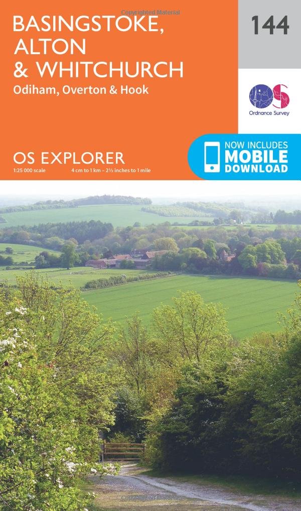
Basingstoke, Alton and Whitchurch
Eskdale and Castle O'er Forest
Stratford-Upon-Avon, Warwick & Banbury
Ordnance Survey Thermal 500ml Bottle, Insulated & Leakproof Walking, Trekking, Hiking Bottle
Buckingham and Milton Keynes
The Cotswolds, Burford, Chipping Campden, Cirencester & Stow-on-the Wold
Ordnance Survey Wye Valley & Forest of Dean / Dyffryn Gwy a Fforest y Ddena
Ordnance Survey Trek Towel - Compact, Lightweight, Quick-Dry Outdoor, Sports & Beach Towel, Sand-Free Design
Ordnance Survey Pathfinder More Peak District
Ordnance Survey Thurso & Wick, John O'Groats
Peebles, Galashiels & Selkirk, Tweed Valley
Ordnance Survey 650ml Tritan Water Bottle for Fitness, Hiking, Camping, Outdoor Sports, Made From BPA-Free Material, Leak-Proof, Flip-Top Lid, With Handle
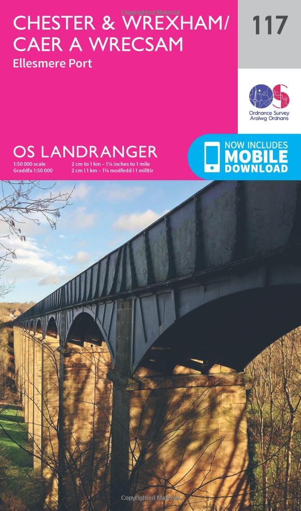
Ordnance Survey Chester & Wrexham, Ellesmere Port
Ordnance SurveyOS MF TOWEL L BEN NEVIS
Ordnance Survey Derby & Burton Upon Trent
Chelmsford and the Rodings
Kingston Upon Hull, Beverley & Driffield
The Ordnance Survey Great British Treasure Hunt: Can you solve over 350 clues on a puzzle adventure from your own home?
Ordnance Survey Thermal 500ml Bottle, Insulated & Leakproof Walking, Trekking, Hiking Bottle
Dorking, Box Hill and Reigate
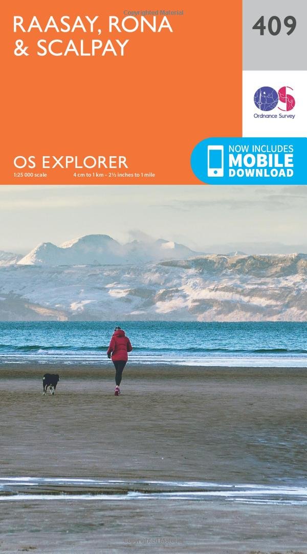
Ordnance Survey Raasay, Rona and Scalpay
The Peak District: Dark Peak Area Map | Peak District National Park | Ordnance Survey | OS Explorer Map OL 01 | England | Walks | Hiking | Maps | Adventure
Scotland Map | Trip Planning | Ordnance Survey | OS Tour Map | Scottish Attractions | Scenic Routes | National Parks | Maps | Adventure
Ordnance Survey Thermal 500ml Bottle, Insulated & Leakproof Walking, Trekking, Hiking Bottle
The English Lakes: South-Western Area Map | Coniston, Ulverston & Barrow-in-Furness | Ordnance Survey | OS Explorer Map OL06 | England | Walks | Hiking | Maps | Adventure: OL 6
Pitlochry & Loch Tummel, Aberfeldy, Kinloch Rannoch & Schiehallion Ordnance Survey: OL 49 (OS Explorer Map Active)
The Cotswolds, Burford, Chipping Campden, Cirencester & Stow-On-The Wold Ordnance Survey: OL 45 (OS Explorer Map)
Anglesey East Ordnance Survey: 263 (OS Explorer Map)
Snowdon / Yr Wyddfa Map | Conwy Valley / Dyffryn Conwy | Ordnance Survey | OS Explorer Map OL 17 | Wales | Walks | Hiking | Maps | Adventure
Ripon And Boroughbridge Ordnance Survey: 299 (OS Explorer Map)
Durness And Cape Wrath Ordnance Survey: 446 (OS Explorer Map)
London North, The City, West End, Enfield, Ealing, Harrow & Watford
Ordnance Survey Thermal 500ml Bottle, Insulated & Leakproof Walking, Trekking, Hiking Bottle
Ordnance SurveyOS MF TOWEL L HIGH PEAK
Torridon - Beinn Eighe and Liathach
Berwick-Upon-Tweed: 075 (OS Landranger Map)
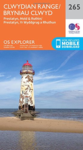
Clwydian Range / Bryniau Clwyd Map | Prestatyn, Mold & Ruthin / Prestatyn, Yr Wyddgrug a Rhuthun | Ordnance Survey | OS Explorer Map 265 | Wales | Walks | Hiking | Maps | Adventure
Chiltern Hills North Ordnance Survey: 181 (OS Explorer Active Map)
St. Albans And Hatfield Ordnance Survey: 182 (OS Explorer Map)
Norfolk Coast East Map | Cromer & North Walsham | Ordnance Survey | OS Explorer Map 252 | England | Walks | Hiking | Maps | Adventure