Discover Our Imray Range
Indulge in iconic and innovative Imray items curated just for you.
Italian Waters Pilot 2019
Imray Chart G1: Mainland Greece and the Peloponnisos (G Series)
Imray Chart A233: Virgin Islands (includes A231 and A232), 2023 Edition
Imray Ionian,10th Edition
Imray Chart 100: North Atlantic Ocean Passage Chart (Iolaire)
The Cruising Almanac 2023
Imray chart G12: South Ionian Islands Nisos Levkas to Nisos Zakinthos (G Charts)
Imray Explorer Guide - Tides
Imray Chart B31: Grenadines - Middle Sheet; Bequia to Carriacou (B Series)
Imray Chart C62: Irish Sea
Imray Chart A233: Virgin Islands Double-sided sheet combining charts A231 and A232
Ionian (Ionian: Corfu, Levkas, Cephalonia, Zakinthos and the adjacent mainland coast to Finakounda)
Imray Chart C64: North Channel - Belfast Lough to Lough Foyle and Crinan
Imray Explorer Guide - Tides (Imray Explorer Guides)
Imray Chart G13: Gulfs of Patras and Corinth (2000 Series)
Imray Chart A231 2019: Virgin Islands St Thomas to Virgin Gorda
Imray Chart G14: Saronic and Argolic Gulfs (G Charts)
Imray Crossing the Thames Estuary: 3
Greek Waters Pilot : A yachtsman's guide to the Ionian and Aegean coasts and islands of Greece
Imray Chart G33: Southern Cyclades (West Sheet) (G Charts)
Imray Chart C66: Mallaig to Rudha Reidh and Outer Hebrides
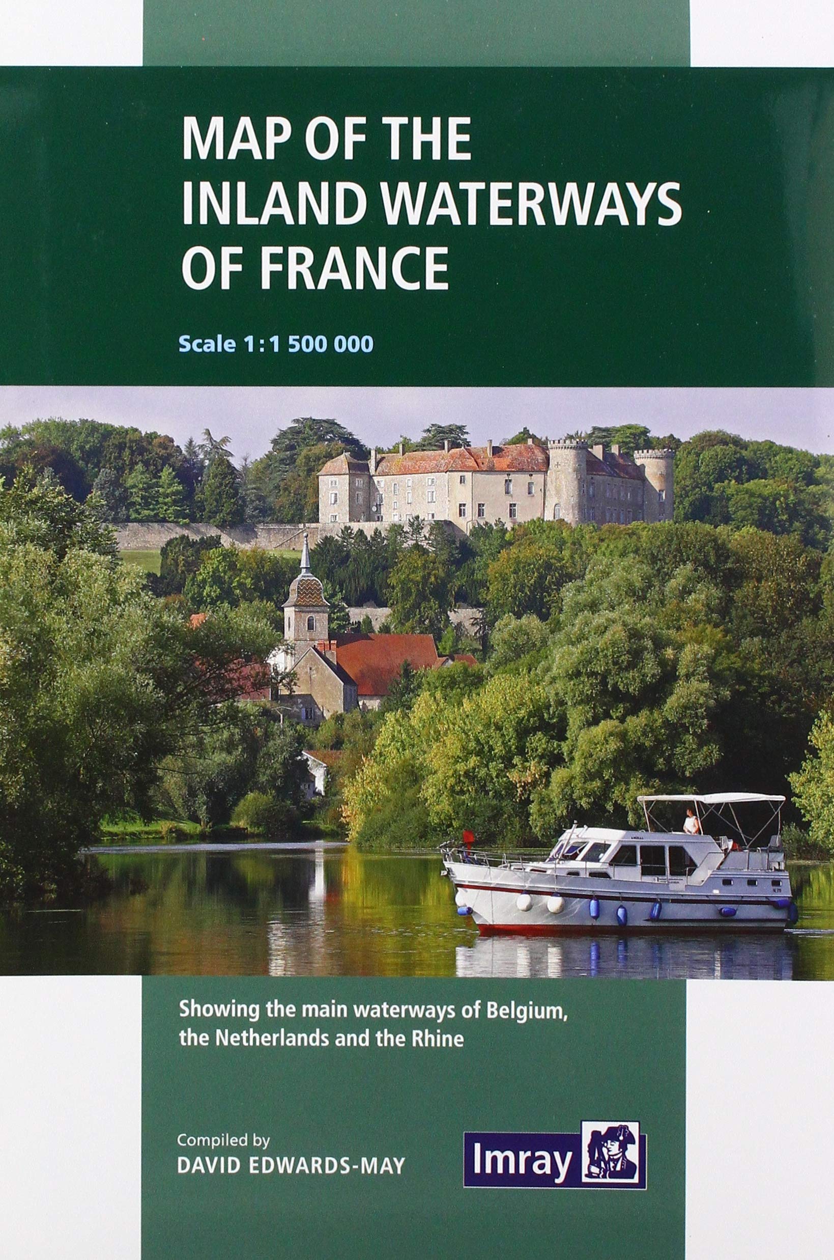
Imray: 3 (Imray: Map of the Inland Waterways of France)
Imray Chart G35: Dodecanese and the Coast of Turkey
Adriatic Pilot (Adriatic Pilot: Croatia, Slovenia, Monte, East Coast of Italy, Albania)
Imray Explorer Guide - The Moon
Imray: 3: Map of the Inland Waterways of France
Imray Chart M16: Ligurian Sea
Imray Chart M27: Dubrovnik to Bar and Ulcinj (M Series)
Imray 2300: Dorset and Devon Coasts Chart Pack
Imray Chart Y31: Christchurch to the Solent (Small Format)
Imray Chart E4: Arquipélago de Cabo Verde
Imray Chart M40: Ligurian and Tyrrhenian Sea
Imray Explorer Guide - Tidal Streams
Imray Chart B3: The Grenadines- St Vincent to Grenada (Iolaire)
Imray Chart M18: Capo d'Anzio to Capo Palinuro (Imray M Charts)
Imray Crossing the Thames Estuary: 3
G3 Aegean Sea (South) 2020
Adriatic Pilot: Croatia, Slovenia, Montenegro, East Coast of Italy
Imray Chart G33: Southern Cyclades (West Sheet)
Imray Chart E2: Islas Canarias
Imray Chart G13: Gulfs of Patras and Corinth
Imray Chart G36 Turkey - South Coast: Marmaris to Kekova Adasi
Imray 2800 Chart Pack: Kintyre to Ardnamurchan Chart Pack
Imray Chart G121: South Ionian Islands Nisos Levkas to Nisos Zakinthos (G Charts)
Imray Chart M16: Ligurian Sea
Imray Chart M6: Ile de Corse
Imray Chart C51: Milford Haven to Tremadog Bay
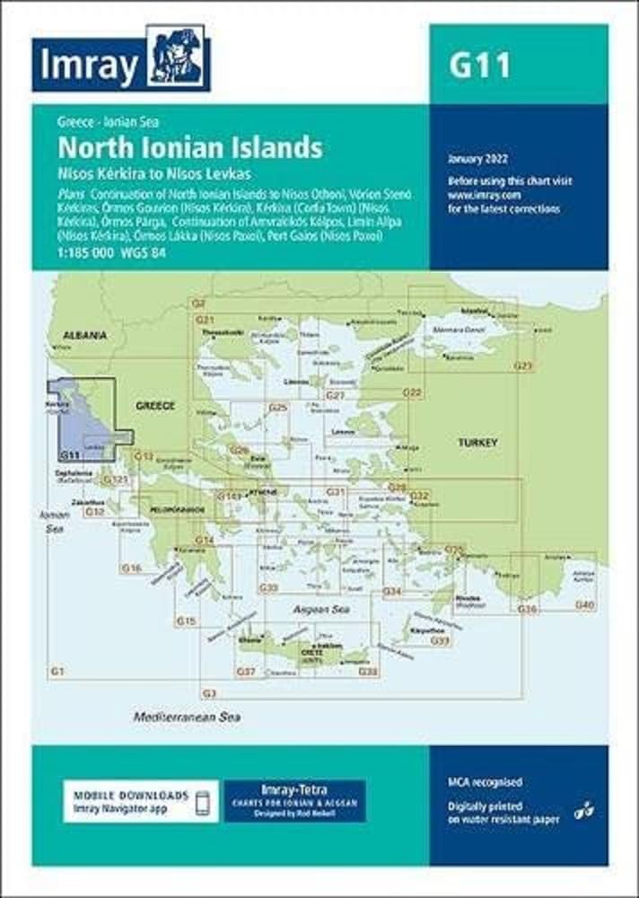
Imray Chart G11: North Ionian Islands
Imray Chart Pack 2900 Firth of Clyde Chart Pack: Firth of Clyde Includes passages to Northern Ireland
Imray Chart G34: Southern Cyclades
Imray Chart G14: Saronic and Argolic Gulfs
Imray Chart G11: North Ionian Islands (G Charts) Map – Folded Map, 7 Jan. 2022
Imray Chart G31: Northern Cyclades
Imray Chart Y32: Eastern Approach to the Solent (Small Format)
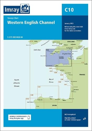
Imray Chart C10: Western English Channel Passage Chart (C Charts)
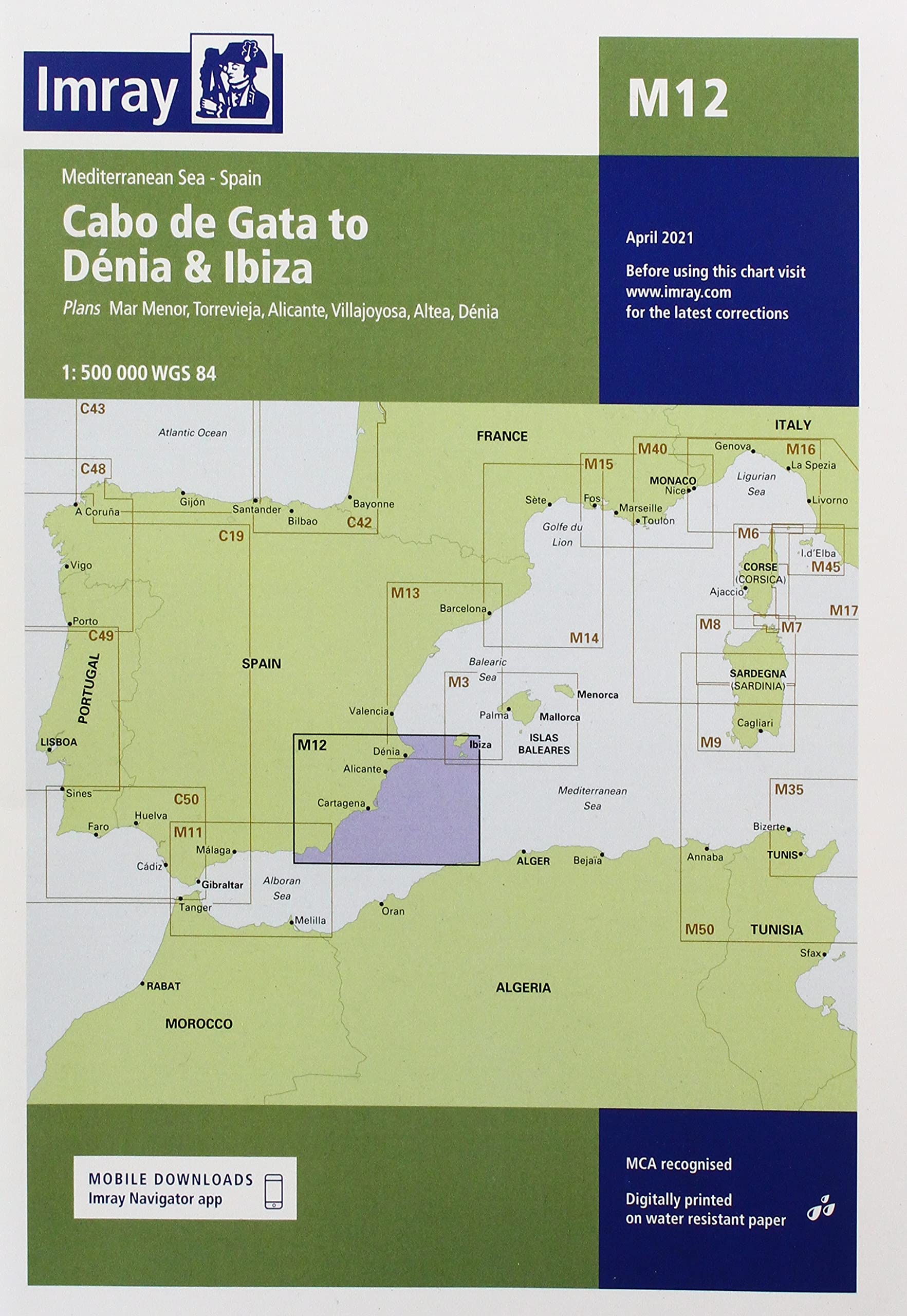
Imray Chart M12: Cabo de Gata to Denia and Ibiza
IMRAY Nautical Map Sicily
Imray Chart C42: La Rochelle to Santander
Imray chart G12: South Ionian Islands Nisos Levkas to Nisos Zakinthos
Imray Chart M34: Golfo di Venezia
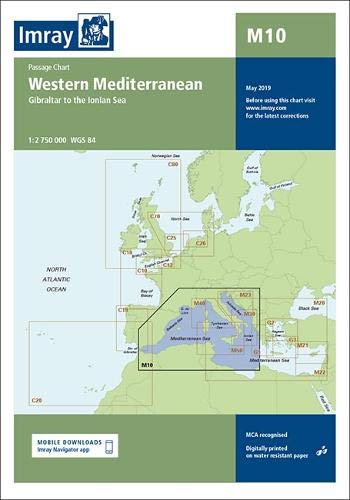
Imray Chart M10: Western Mediterranean
Imray Chart G32: Eastern Sporades, Dodecanese & the Coast of Turkey
Imray Chart C15: Bembridge to Hurst Point and Southampton (C Charts)
Imray Chart G1: Mainland Greece and the Peloponnisos
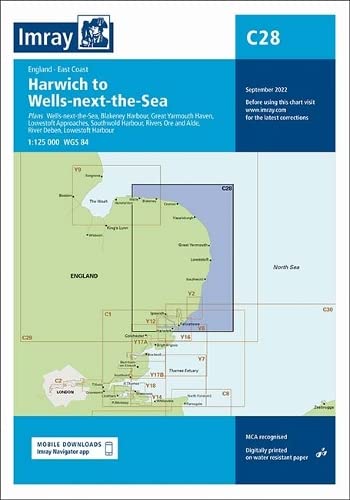
Imray Chart C28: Harwich to Wells-next-the-sea
Imray Chart M17: North Tuscan Islands to Rome
Imray Chart B3: The Grenadines- St Vincent to Grenada
The River Thames (The River Thames: Including the River Wey, Basingstoke Canal and Kennet and Avon Canal)
Imray Chart Y36: Central Solent (Small Format)
Imray Chart 100: North Atlantic Ocean Passage Chart
Imray Chart G121: South Ionian Islands Nisos Levkas to Nisos Zakinthos
Imray Chart C68: Cape Wrath to Wick and the Orkney Islands
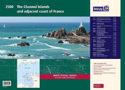
Imray 2500 Chart Pack: The Channel Islands and adjacent coast of France
Imray: 3 (Imray: Map of the Inland Waterways of France)
The Shell Channel Pilot: South coast of England, the North coast of France and the Channel Islands
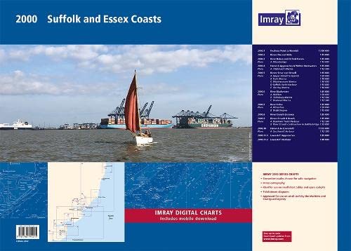
2000 Suffolk and Essex Chart Pack: Lowestoft to River Crouch (2000 Series)
ImrayCCC Sailing Directions - Kintyre to Ardnamurchan (CCC Sailing Directions - Kintyre to Ardnamurchan: Clyde Cruising Club Sailing Directions and Anchorages)